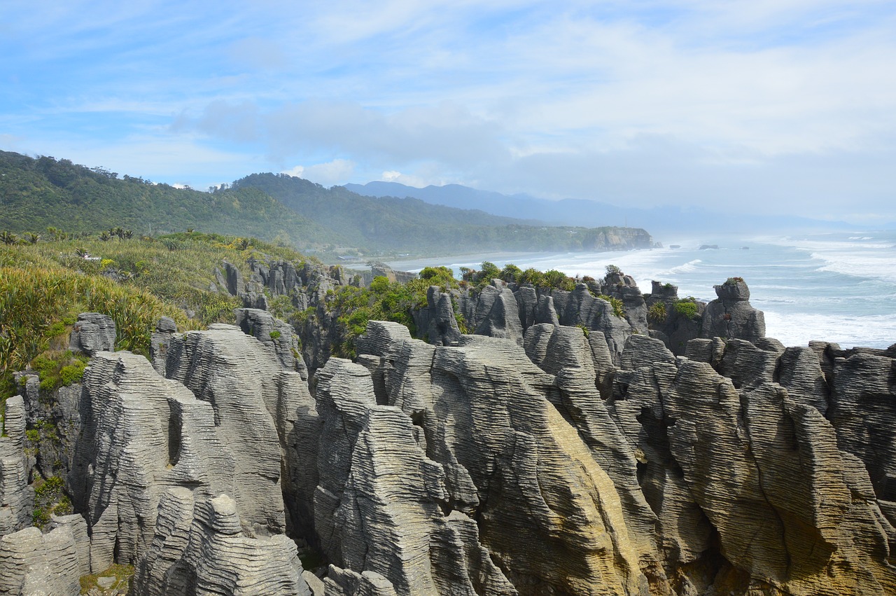

Indian Scientists have developed a remote sensing technique that uses satellite data to delineate between various coastal landforms like beaches, mangroves, and marshes.
Internet is huge! Help us find great content
Never miss a thing! Sign up for our newsletter to stay updated.
Research Stash is a curated collection of tools and News for S.T.E.M researchers
Have any questions or want to partner with us? Reach us at hello@researchstash.com